
USGS and India Space Research Organization to Cooperate Further in Observing Earth
Advancing the international exchange of Earth data
The U.S. Geological Survey and the Indian Space Research Organization (ISRO) have finalized an agreement for new levels of cooperation in the exchange and use of Earth observation data. The memorandum of understanding was recently signed by Dr. Suzette Kimball, USGS Director, and Dr. V. K. Dadhwal, previous Director of the National Remote Sensing Centre (NRSC), ISRO.
“Through this agreement, scientists and engineers at USGS and ISRO’s National Remote Sensing Center can collaborate more effectively in advancing the capabilities of both organizations,” said USGS Director Kimball. “We gain a unique, multifaceted insight about our world by observing Earth from space – a perspective that is invaluable as we work toward solving some of our planet’s most pressing issues.”
"With this new level of cooperation, India will get access to an additional source of Earth observation satellite data to carry out application projects in the field of natural resources management and disaster management support,” said Dr. YVN Krishnamurthy, current NRSC Director. “We are discussing expanding our cooperation beyond data sharing to areas such as cross calibration, data processing, and Analysis Ready Data (ARD).”
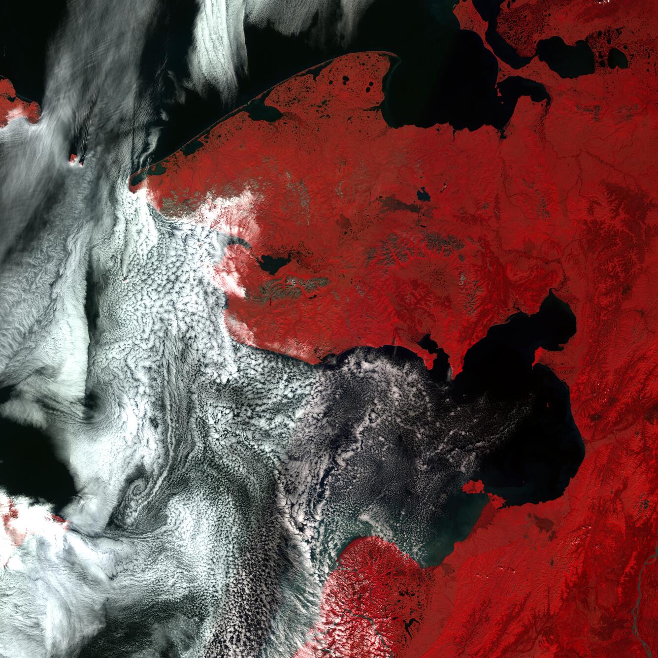
The agreement will allow USGS to receive data of full U.S. coverage (including Alaska & Hawaii) from two of the sensors onboard ISRO’s Resourcesat-2 satellite. These data include the Advanced Wide-Field Sensor (AWiFS) with a ground sample distance of 56 meters and the Linear Imaging Self-Scanning Sensor III (LISS-III) with a ground sample distance of 23.5 meters.
The Resourcesat-2 data streams will assist U.S. scientists and resource managers in developing a better understanding of land changes over time associated with agriculture, forestry, and phenology as well as a wealth of other applications. In the past, the U.S. Department of Agriculture has used Resourcesat data extensively to supplement Landsat data in monitoring crop production both domestically and internationally.
Additionally, ISRO is to provide a complete copy of their entire Landsat historical archive.
In exchange, ISRO will collect Landsat 7 and 8 data through direct reception for areas within the coverage radius of their ground receiving station located in Shadnagar, India. ISRO will obtain complete access to the historical Landsat archive of raw and processed data.
The USGS and ISRO will work together over the next few months to ensure collection and transfer of the Resourcesat-2 imagery over the U.S. followed by the distribution of the data on a public, nondiscriminatory basis from the USGS EarthExplorer web site.
Get Our News
These items are in the RSS feed format (Really Simple Syndication) based on categories such as topics, locations, and more. You can install and RSS reader browser extension, software, or use a third-party service to receive immediate news updates depending on the feed that you have added. If you click the feed links below, they may look strange because they are simply XML code. An RSS reader can easily read this code and push out a notification to you when something new is posted to our site.